Map of Portsmouth, 1856

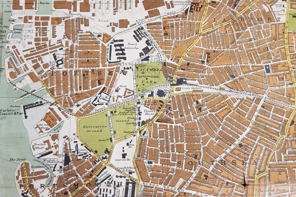
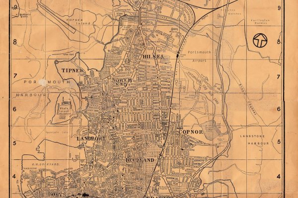
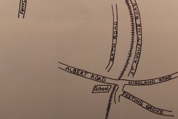
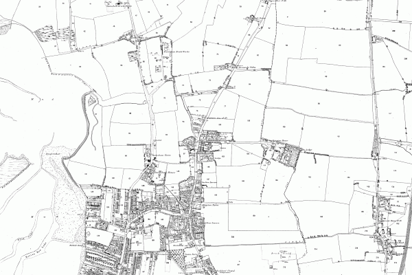
Photographic prints are available of this image:

🖼️ 8 x 12 (A4) 🖼️ 16 x 12 (A3)
L

Map of Portsmouth, 1856

Map surveyed in 1856 by Captain Elphinstone.
There are no comments to display.

Media information

Category
Old Maps
Added by
Lord Palmerston
Date added
View count
5,238
Comment count
0
Rating
0.00 star(s) 0 ratings

Extra information

Year
1856

Image metadata

Filename
Portsmouth 1856.jpg
File size
3.6 MB
Dimensions
3175px x 4377px

Share this media


Back
Top