James Street, Portsmouth

Photographic prints are available of this image:

🖼️ 8 x 12 (A4) 🖼️ 16 x 12 (A3)
L

James Street, Portsmouth

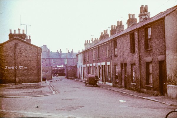
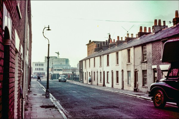
James Street was a tiny street just off Upper East Street near the railway line. It is now roughly the site of Rednal house, near Maxstone Close off Raglan Street. (as of 2022).

Photo taken from Upper East Street. Taken some time between 1963 and 1975.

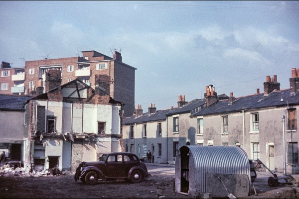
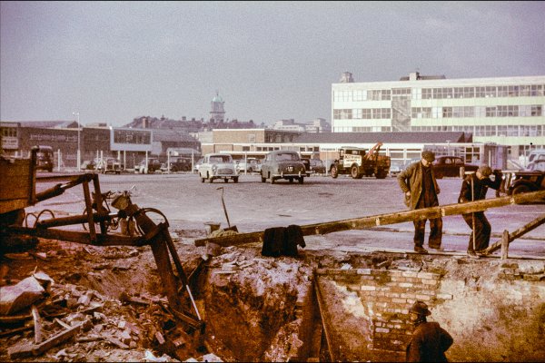
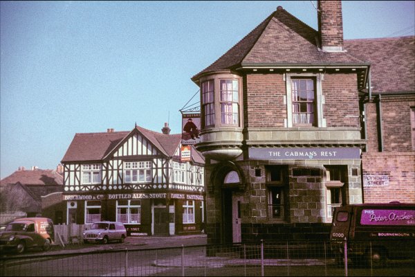
Photo by Martin Hulbert, reproduced with kind permission.
Thank you to Maggie Tunnicliff for helping to locate James street:

Maggie Tunnicliff said:
In 'Malcolm's Street Guide of Portsmouth, Southsea and Cosham' (undated, but price 3d) the entry says "James street, L, 82 Upper East street". I'm assuming 'L' probably means Landport. I think the '82 Upper East street indicates where it joins or intersects. The entry for "East street (upper)" says "S 110 Blackfriars road". I hope this helps. Maybe 'S' is Southsea? The map from the very old booklet is sadly missing and many Landport streets have disappeared. I hope you manage to locate it.
 

Media information

Album
Martin Hulbert photos 1963-1975
Added by
Lord Palmerston
Date added
View count
2,969
Comment count
1
Rating
0.00 star(s) 0 ratings

Extra information

Co-ordinates

Image metadata

Device
Nikon Nikon COOLSCAN IV ED
Filename
1963 to 1975--393898 x 2593.jpg
File size
11.5 MB
Date taken
Tue, 17 August 2021 7:39 PM
Dimensions
3851px x 2562px

Share this media


Back
Top